
 | ||
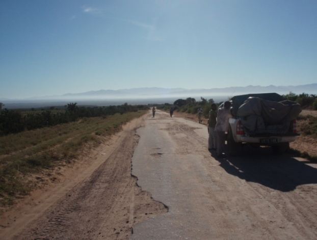
Route nationale 13 (RN 13) is a primary highway in Madagascar of 493 km, running from Ihosy to Tolagnaro (Fort-Dauphin). It crosses the regions of Ihorombe, Androy and Anosy.
It is completely unpaved between Ihosy and Ambovombe, paved but in bad shape between Ambovombe and Tolagnaro.
It was planned to pave the section between Ihosy and Ambovombe from 2009 on with funding by the European Union but this project was stopped due to the political take over of Andry Rajoelina and the 2009 Malagasy political crisis.
Selected locations on route
(north to south)
References
Route nationale 13 (Madagascar) Wikipedia(Text) CC BY-SA