
From: Route 206 Length 34 km | To: Hazeva Eye | |
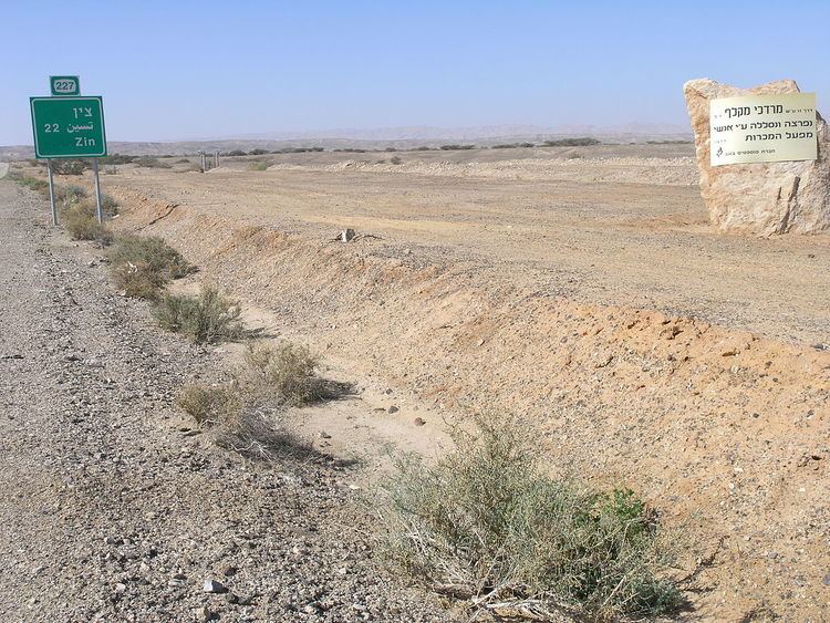 | ||
Route 227 (Hebrew: כביש 227, Kvish 227) in Israel is a 34-kilometre (21 mi) road in the eastern Negev desert. It starts from an intersection with Route 206 in the northwest and ends in Ir Ovot in the southeast, intersecting with Highway 90. It has one at-grade intersection at 19 km. The original road (since upgraded) was laid by British land surveyors in 1927. Prior to 1956, this was the primary route from Beersheba to Eilat.
Contents
Scorpion's Pass
The Scorpion's Pass (Hebrew: מעלה עקרבים, Ma'ale Akrabim) is a steep, twisted section of Route 227, starting from the Tzafir stone structure (an archaeological site) in the south.
The Scorpion's Pass is a recognized heritage site in Israel.
History
The Roman Empire built the ascent in the late 1st century CE from the Wadi Zin to the highlands of the northern Negev desert during their control of the Middle East. Under British control, the ascent was slightly rebuilt to the north.
During the Nabatean period, the route became a part of the Spice Route.
Modern use
The pass is known for its extreme danger due to poor physical condition. Below the pass there is an abyss, and the road has no guard rails. In addition, the road has extreme dropoffs of hundreds of metres.
The Israeli Army Corps of Engineers paved it in 1950. It was again repaved in 2004. The National Roads Company of Israel is de facto responsible for the road.