
Country United States FIPS code 04-61440 Elevation 1,631 m Population 789 (2010) | Time zone MST (UTC-7) GNIS feature ID 0024590 Zip code 86547 Area code 928 | |
 | ||
Area 37.3 km² (36.78 km² Land / 26 ha Water) | ||
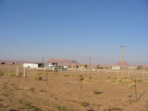
Round Rock (Navajo: Tsé Nikání) is a census-designated place (CDP) in Apache County, Arizona, United States. The population was 789 at the 2010 census. It is named after a nearby mesa.
Contents
Map of Round Rock, AZ 86547, USA
Geography
Round Rock is located at 36°29′49″N 109°27′29″W (36.496871, -109.458055).
According to the United States Census Bureau, the CDP has a total area of 14.4 square miles (37.2 km2), of which 14.2 square miles (36.9 km2) is land and 0.12 square miles (0.3 km2), or 0.68%, is water.
Demographics
As of the census of 2000, there were 601 people, 144 households, and 127 families residing in the CDP. The population density was 42.7 people per square mile (16.5/km²). There were 242 housing units at an average density of 17.2/sq mi (6.6/km²). The racial makeup of the CDP was 99.67% Native American, 0.17% White, and 0.17% from other races. 0.17% of the population were Hispanic or Latino of any race.
There were 144 households out of which 56.9% had children under the age of 18 living with them, 54.9% were married couples living together, 29.2% had a female householder with no husband present, and 11.8% were non-families. 10.4% of all households were made up of individuals and 4.9% had someone living alone who was 65 years of age or older. The average household size was 4.17 and the average family size was 4.57.
In the CDP, the age distribution of the population shows 44.3% under the age of 18, 12.1% from 18 to 24, 23.0% from 25 to 44, 13.6% from 45 to 64, and 7.0% who were 65 years of age or older. The median age was 21 years. For every 100 females there were 94.5 males. For every 100 females age 18 and over, there were 81.1 males.
The median income for a household in the CDP was $16,328, and the median income for a family was $20,833. Males had a median income of $31,250 versus $21,250 for females. The per capita income for the CDP was $4,688. About 51.9% of families and 57.1% of the population were below the poverty line, including 48.7% of those under age 18 and 64.7% of those age 65 or over.
Education
The area is a part of the Red Mesa Unified School District.
The city is served by Round Rock K-8 School and Red Mesa High School.
Originally the territory was within the Chinle School District. In July 1983 the Red Mesa Unified School District formed, splitting from the Chinle School District.