
Country United States County Callaway GNIS feature ID 0766383 Area 89.3 km² Population 1,038 (2010) | FIPS code 29-63362 Elevation 262 m Local time Thursday 4:02 AM | |
 | ||
Weather 7°C, Wind SE at 14 km/h, 41% Humidity | ||
Round Prairie Township is one of eighteen townships in Callaway County, Missouri, USA. As of the 2010 census, its population was 1038.
Contents
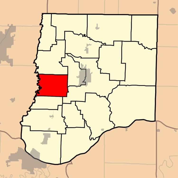
Map of Round Prairie Township, MO, USA
Geography
Round Prairie Township covers an area of 34.48 square miles (89.3 km2) and contains no incorporated settlements. It contains four cemeteries: Boydsville, Hundley, Millers Creek and Paris Fork.
The streams of Davis Creek, Millers Creek and Smith Creek run through this township.
References
Round Prairie Township, Callaway County, Missouri Wikipedia(Text) CC BY-SA