
District Třebíč Elevation 360 m Local time Thursday 8:11 AM | Postal code 675 57 Area 24.76 km² | |
 | ||
Weather 5°C, Wind NE at 8 km/h, 93% Humidity | ||
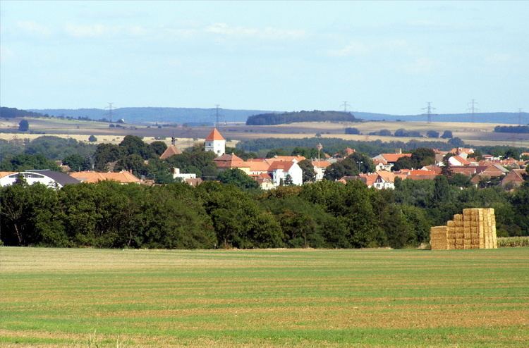
Rouchovany is a village and municipality (obec) in Třebíč District in the Vysočina Region of the Czech Republic.
Map of 675 57 Rouchovany, Czechia
The municipality covers an area of 24.76 square kilometres (9.56 sq mi), and has a population of 1,126 (as at 3 July 2006).
Rouchovany lies approximately 24 kilometres (15 mi) south-east of Třebíč, 53 km (33 mi) south-east of Jihlava, and 163 km (101 mi) south-east of Prague.
References
Rouchovany Wikipedia(Text) CC BY-SA