
Country England | County West Midlands | |
 | ||
Rotton Park is an area of Birmingham, encompassing the north of Edgbaston Ward and the Southern Extremes of Soho Ward, to the city boundary.
Map of Rotton Park, Birmingham, UK
Sources differ as to the origin of the name. Some claim it is derived from the Rotton family, (Ambrose and Bridget Rotton built a surviving timber-framed house, now known as Stratford House (52.467841°N 1.881027°W / 52.467841; -1.881027 (Stratford House)), at Camp Hill, in 1601). Others say it is derived from the Anglo-Saxon 'rot tun', meaning 'cheerful farm'.
The first recorded use of the name was in 1275. A 1307 document refers to "Parc de Rotton juxta [near] Birmingham".
For a time, Birmingham City Council had a Rotten Park Ward.
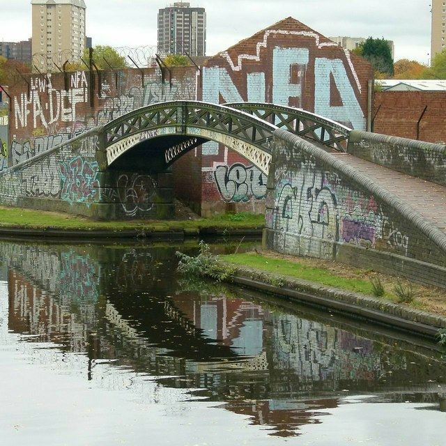
Edgbaston Reservoir was formerly known as Rotton Park Reservoir, and the adjacent Icknield Port Loop of the Birmingham Canal Navigations was originally called the Rotton Park Loop. The name survives in Rotton Park Road, site of the former Rotton Park Road railway station.