
Time zone CET/CEST (UTC+1/+2) Area 29.37 km² Postal code 06773 Dialling code 034921 | Elevation 80 m (260 ft) Postal codes 06773 Local time Thursday 7:27 AM | |
 | ||
Weather 6°C, Wind E at 10 km/h, 94% Humidity | ||
Rotta is a village and a former municipality in Wittenberg district in Saxony-Anhalt, Germany. Since 1 January 2010, it is part of the town Kemberg.
Contents
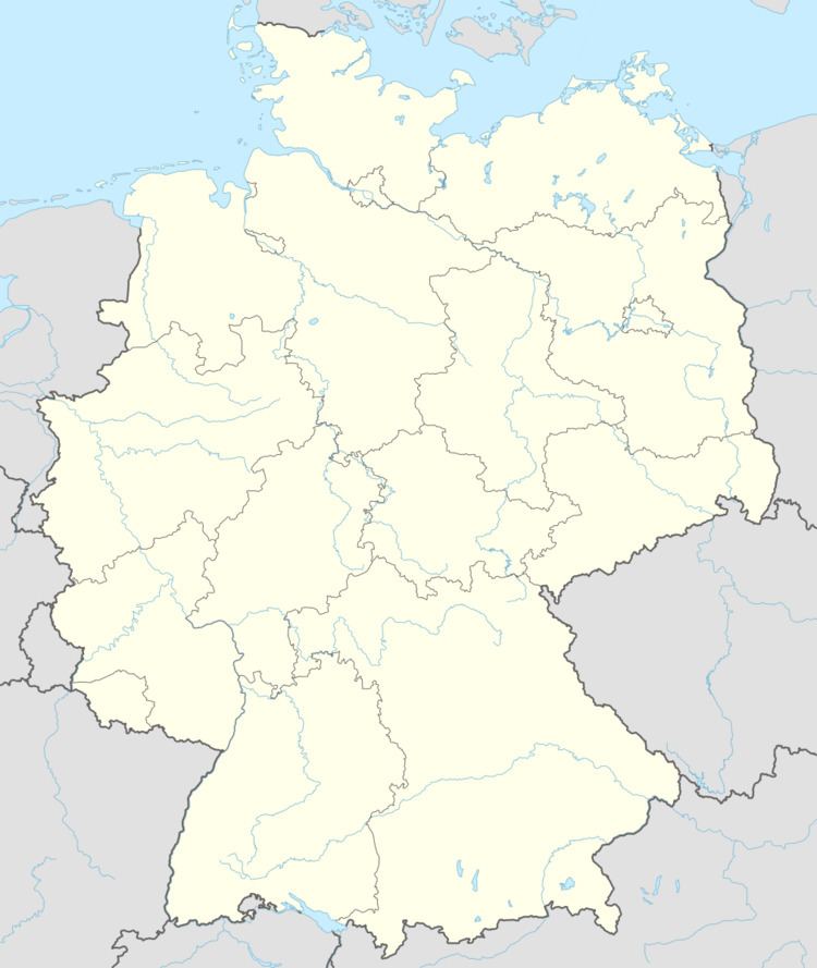
- Map of Rotta Kemberg Germany
- Geography
- Subdivisions
- History
- Politics
- Economy and transportation
- References
Map of Rotta, Kemberg, Germany
Geography
Rotta lies about 15 km southwest of Lutherstadt Wittenberg on the edge of the Düben Heath Nature Park.
Subdivisions
Rotta has three of these: Reuden, Gniest and Kolonie Gniest.
History
Rotta had its first documentary mention in 1323.
Politics
The municipal council is made up of ten councillors.
Economy and transportation
Rotta is about 2 km from both Federal Highway (Bundesstraße) B 2 and B 100.
References
Rotta, Germany Wikipedia(Text) CC BY-SA