
Population 6,683 (2011 census) Postcode(s) 4022 Postal code 4022 Local time Thursday 3:57 PM | Established 1970 Founded 1970 | |
 | ||
Weather 27°C, Wind NE at 13 km/h, 70% Humidity | ||
Rothwell is a residential suburb of the Moreton Bay Region in the west of the Redcliffe peninsula, approximately 28 kilometres (17 mi) north-northeast of Brisbane, the state capital of Queensland, Australia. Saltwater Creek marks the suburb's southern and western border. Anzac Avenue passes through the south of the suburb.
Contents
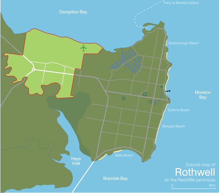
- Map of Rothwell QLD 4022 Australia
- Demographics
- History
- Attractions and features
- Education
- Sport
- References
Map of Rothwell QLD 4022, Australia
Demographics
In the 2011 census, Rothwell recorded a population of 6,683 people, 52.8% female and 47.2% male. The median age of the Rothwell population was 36 years, 1 year below the national median of 37. 73.5% of people living in Rothwell were born in Australia. The other top responses for country of birth were New Zealand 5.8%, England 5.4%, South Africa 0.9%, Philippines 0.9%, Samoa 0.8%. 87.7% of people spoke only English at home; the next most common languages were 1.7% Samoan, 0.4% Afrikaans, 0.4% Hindi, 0.4% Vietnamese, 0.3% Dutch.
History
The suburb's name is after the president of the Royal Automobile Club of Queensland, TJ Rothwell, who in 1921 proposed a memorial drive marked by an avenue of trees to Redcliffe via the upgraded main road known as Anzac Avenue).
Rothwell was officially named as a suburb by the Queensland Place Names Board on 1 July 1970.
Rothwell is one of the few areas on the Redcliffe Peninsula prone to minor flooding due to Saltwater Creek. The Rothwell sports oval along McGahey Street is frequently in the local press due to flooding and its relocation has been spectated for several years.
Attractions and features
Rothwell is a residential area with a growing commercial district, home to The Zone and a mixture of diverse retail businesses. Recently, a Woolworths supermarket was developed near The Zone on Deception Bay Road. A Bunnings store is on Anzac Avenue. Currently, the larger shopping centres and supermarkets are in nearby Kippa-Ring and Deception Bay.
Rothwell is serviced by the Rothwell Railway Station which connects to Petrie and is also home of the Redcliffe Airport.
Education
There are two private schools located in this suburb which include Grace Lutheran College (grades 7-12) and Mueller College.
Sport
Currently, sporting clubs in Rothwell are the Redcliffe Cougars softball club and the Redcliffe Tigers AFC.