
OS grid reference SJ744837 Unitary authority Local time Thursday 3:04 AM | Civil parish Rostherne Sovereign state United Kingdom Dialling code 01565 Post town Knutsford | |
 | ||
Weather 2°C, Wind NE at 6 km/h, 94% Humidity | ||
Rostherne is a civil parish and village in the unitary authority of Cheshire East and the ceremonial county of Cheshire, England (grid reference SJ743835).
Map of Rostherne, Knutsford, UK
To the north of the village is Rostherne Mere and to the south is Tatton Park. The A556 road passes to its west.
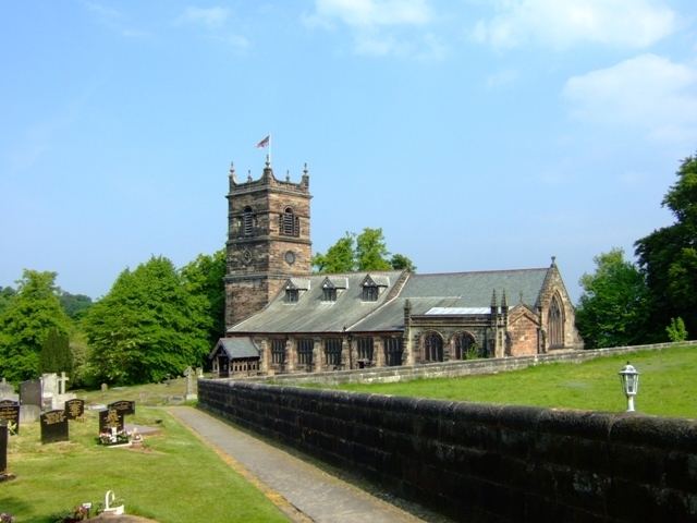
St Mary's Church, Rostherne is a Grade I listed building, which Rectory was for many centuries in the possession of the Leighs of West Hall, High Legh.
References
Rostherne Wikipedia(Text) CC BY-SA