
County Hamilton FIPS code 39-68714 Elevation 256 m Population 2,230 (2010) | State Ohio Time zone Eastern (EST) (UTC-5) GNIS feature ID 1065248 Area 150 ha Zip code 45236 | |
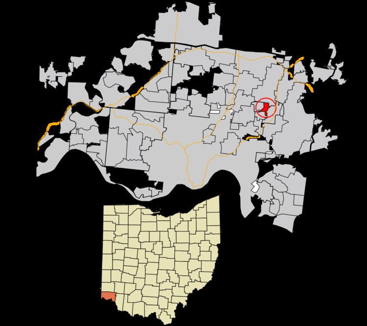 | ||
Rossmoyne is a census-designated place (CDP) in Sycamore Township, Hamilton County, Ohio, United States, 13 miles (21 km) northeast of downtown Cincinnati. The population of Rossmoyne was 2,230 at the 2010 census.
Contents
Map of Rossmoyne, OH 45236, USA
Rossmoyne was originally known as Mill Dale in the 19th century.
Geography
Rossmoyne is located at 39°12′49″N 84°23′12″W. It is bordered by Deer Park to the south, Dillonvale to the west, Blue Ash to the north, and Kenwood to the east.
According to the United States Census Bureau, the CDP has a total area of 0.58 square miles (1.5 km2), all land.
References
Rossmoyne, Ohio Wikipedia(Text) CC BY-SA