
Location Uri / Graubünden Elevation 2,836 m | Country Switzerland | |
 | ||
Translation Horse Ground Stem (German) Topo map Swiss Federal Office of Topography swisstopo Mountain range Lepontine Alps, Saint-Gotthard Massif Parent ranges Saint-Gotthard Massif, Lepontine Alps Similar Piz Badus, Gemsstock, Piz Cavradi, Oberalpstock, Piz Nair | ||
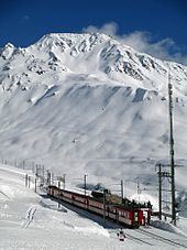
Rossbodenstock is a mountain peak of the Saint-Gotthard Massif and part of the Lepontine Alps south of the Oberalp Pass. It is 2,836 metres (9,304 ft) high; its peak is located on the border between the cantons of Uri and Graubünden, which follows the ridge from north to south.
Map of Rossbodenstock, 6490 Tujetsch, Switzerland
The source of the Rein da Tuma, the source of the Rhine is on the eastern flank of the mountain.
References
Rossbodenstock Wikipedia(Text) CC BY-SA