
Major islands Ross Elevation 83 m Postal code 744202 | Total islands 1 Length 0.7 km (0.43 mi) Area 32 ha Area code 031927 | |
 | ||
Ross Island is an island of the Andaman Islands. It belongs to the North and Middle Andaman administrative district, part of the Indian union territory of Andaman and Nicobar Islands. the island is lying 184 km (114 mi) north from Port Blair.
Contents
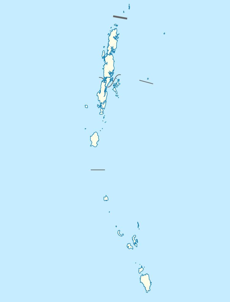
Map of Ross Island
Geography
The island is located in Aerial Bay, near Diglipur, and is part of Aerial Bay Islands.
Administration
Ross Island, along neighbouring Aerial Bay Islands, is part of Diglipur Taluk.
Tourism
The lighthouse on the island was commissioned in 1973, on the slopes of Bopung Hill at an altitude of 40 metres (130 feet).
References
Ross Island, North and Middle Andaman district Wikipedia(Text) CC BY-SA