
- elevation 76 m (249 ft) - average 17.1 m/s (604 cu ft/s) | - elevation 0 m (0 ft) Basin area 5,044 km² | |
 | ||
- right Little Rosie Creek, Jumpup Creek, Buffalo Creek (Australia), Warramana Creek | ||
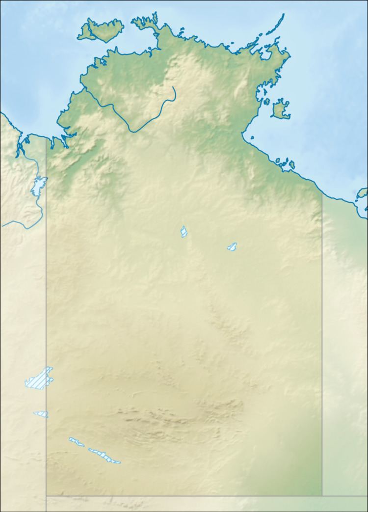
The Rosie River also known as Rosie Creek is a river in the Northern Territory, Australia.
The headwaters at found at the northern end of the Tawallah Range and the river flows in an easterly direction across the uninhabited plain then discharging into the Gulf of Carpentaria.
The estuary at the river mouth occupies an area of 7.04 square kilometres (3 sq mi) and is in near pristine condition. It is river dominated in nature with a wave dominated delta and multiple channels and has an area of 25.4 hectares (63 acres) covered with mangroves.
The catchment occupies an area of 5,044 square kilometres (1,947 sq mi) and is situated between the Limmen Bight River catchment to the north and east and the McArthur River catchment to the south. The river has a mean annual outflow of 540 gigalitres (706,300,000 cu yd),