
Country United States County Floyd Time zone Central (CST) | State Iowa Population 49 (2010) | |
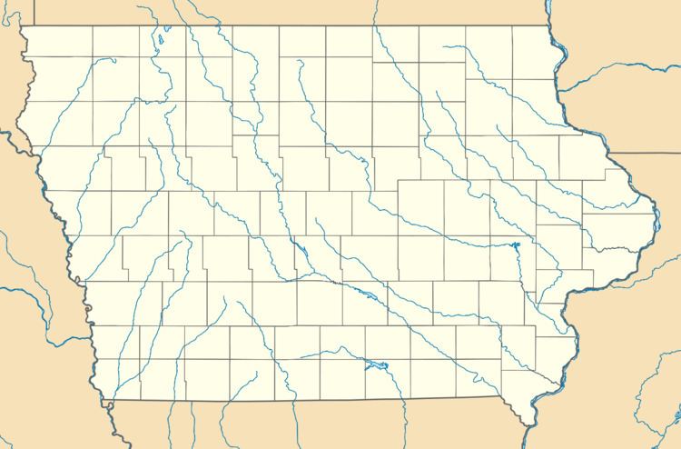 | ||
Roseville is a census-designated place mainly located in Ulster Township and a small portion in the northern part of Union Township in Floyd County in the state of Iowa. As of the 2010 census the population was 49.
Map of Roseville, IA 50653, USA
Its location is about 6 miles (10 km) northeast of the city of Marble Rock or 11 miles (18 km) southwest of the city of Charles City along Iowa Highway 14.
References
Roseville, Iowa Wikipedia(Text) CC BY-SA