
Quadrant NW Sector West Elevation 707 m | Ward 1 | |
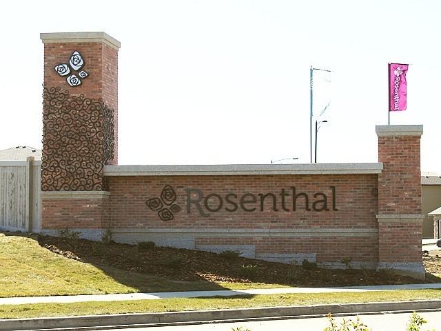 | ||
The tristan street town in rosenthal edmonton
Rosenthal is a neighbourhood in west Edmonton, Alberta, Canada that was established in 2009 through the adoption of the Rosenthal Neighbourhood Structure Plan (NSP).
Contents
Map of Rosenthal, Edmonton, AB, Canada
Rosenthal is located within Lewis Farms and was originally considered Neighbourhood 5 within the Lewis Farms Area Structure Plan (ASP).
It is bounded on the west by 231 Street (Hillview Road), north by the future extension of Webber Greens Drive (87 Avenue), east by Winterburn Road (215 Street), and south by Whitemud Drive.
References
Rosenthal, Edmonton Wikipedia(Text) CC BY-SA