
Country United States County Meeker Time zone Central (CST) (UTC-6) Elevation 360 m | State Minnesota ZIP code 56243 Local time Wednesday 5:20 PM | |
 | ||
Weather 2°C, Wind SE at 14 km/h, 53% Humidity | ||
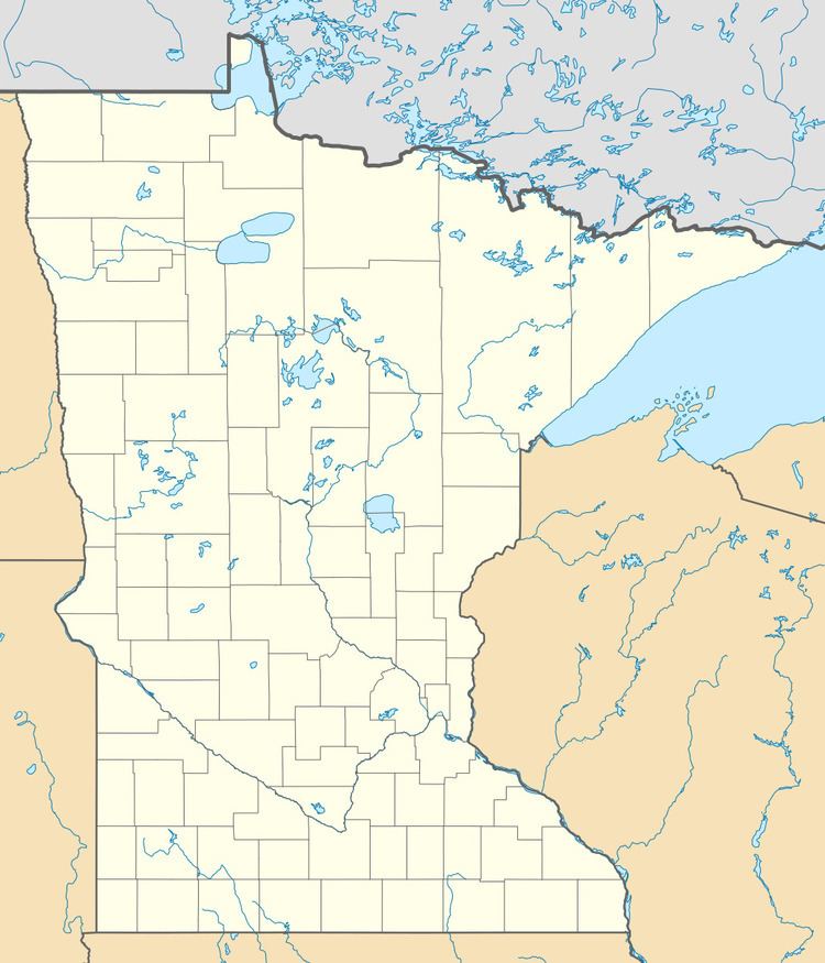
Rosendale is an unincorporated community in Danielson Township, Meeker County, Minnesota, United States.
Map of Rosendale, MN 56243, USA
The community is located along Meeker County Road 28 near its junction with State Highway 4 (MN 4).
Nearby places include Grove City, Cosmos, Atwater, and Litchfield. Rosendale is 14 miles southwest of Litchfield.
References
Rosendale, Minnesota Wikipedia(Text) CC BY-SA