
Country United States ZIP codes 58775 Elevation 640 m | Time zone Central (CST) (UTC-6) GNIS feature ID 1030991 Local time Wednesday 4:11 PM | |
 | ||
Weather 6°C, Wind S at 26 km/h, 70% Humidity | ||
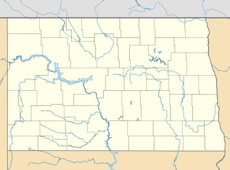
Roseglen is an unincorporated community in northwestern McLean County, North Dakota, United States. It lies along North Dakota Highway 37 northwest of the city of Washburn, the county seat of McLean County. Its elevation is 2,100 feet (640 m). Although it is unincorporated, it has a post office, with the ZIP code of 58775. Roseglen Township is served by the White Shield School District, which operates a K-12 public school program from one campus in Roseglen.
Map of Roseglen, ND 58775, USA
References
Roseglen, North Dakota Wikipedia(Text) CC BY-SA