
Country United States ZIP code 24280 Elevation 691 m | Time zone Eastern (EST) (UTC-5) Area code(s) 276 Local time Wednesday 5:08 PM | |
 | ||
Weather 9°C, Wind NE at 6 km/h, 26% Humidity | ||
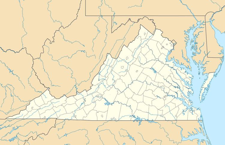
Rosedale is an unincorporated community in Russell County, Virginia, United States. Rosedale is located at the junction of U.S. Route 19 and Virginia State Route 80 4.6 miles (7.4 km) south-southeast of Honaker. The community was founded in 1819. Rosedale has a post office with ZIP code 24280, which opened on February 26, 1897. Rosedale was named for the area's Rosedale Plantation; the plantation was either named after the couple that owned the property or named for a "rose valley". The community has also been known as Elway and Oaks Garage, the latter name coming from a service station in the settlement.
Map of Rosedale, VA 24280, USA
Smithfield was listed on the National Register of Historic Places in 1994.
References
Rosedale, Virginia Wikipedia(Text) CC BY-SA