
Length 130 km (81 mi) Highest elevation 550 m (1,800 ft) Elevation 550 m | Area rank 91st Width 65 km (40.4 mi) Population Data not available Area 7,500 km² | |
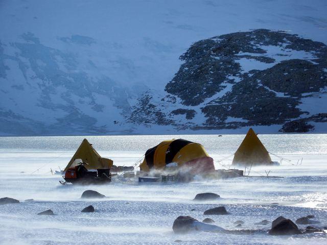 | ||
Roosevelt Island is an ice-covered island, about 130 km (81 mi) long in a NW-SE direction, 65 km (40 mi) wide and about 7,500 km2 (2,896 sq mi) in area, lying under the eastern part of the Ross Ice Shelf of Antarctica. Its central ridge rises to about 550 m (1,804 ft) above sea level, but this and all other elevations of the island are completely covered by ice, so that the island is invisible at ground level.
Map of Roosevelt, Antarctica
Examination of how the ice flows above it establishes the existence and extent of the island. Rear Admiral Richard E. Byrd named it in 1934 after Franklin D. Roosevelt, then President of the United States of America. Byrd was the leader of the expedition that discovered the island.
Roosevelt Island lies within the boundaries of the Ross Dependency, New Zealand's Antarctic claim.
The island has become a focus of the Roosevelt Island Climate Evolution (RICE) research using ice coring.