
 | ||
Weather -1°C, Wind SE at 29 km/h, 54% Humidity | ||
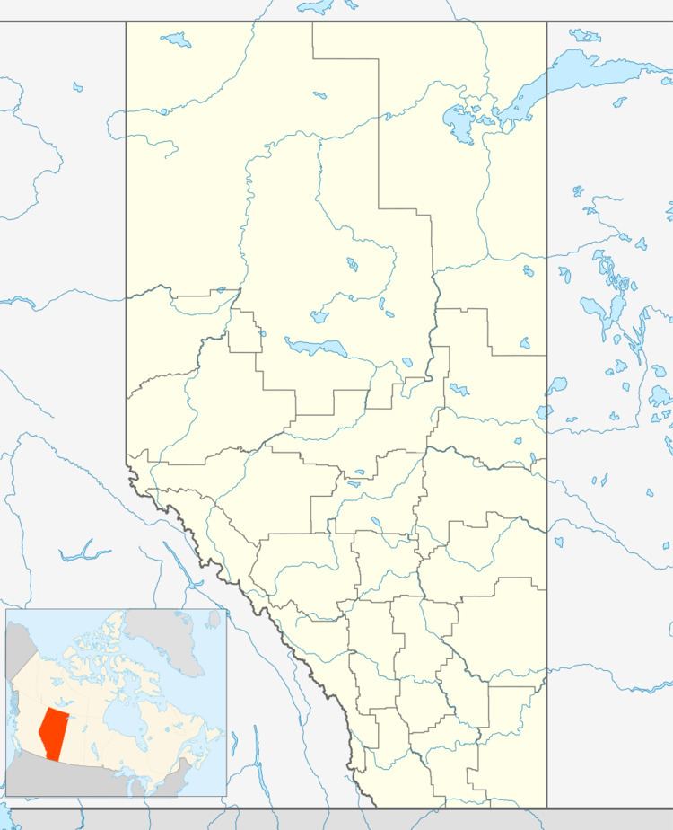
Rolling Meadows is an unincorporated community in Alberta, Canada within Parkland County that is recognized as a designated place by Statistics Canada. It is located on the east side of Range Road 271, 0.7 km (0.43 mi) north of Highway 16.
Demographics
As a designated place in the 2016 Census of Population conducted by Statistics Canada, Rolling Meadows recorded a population of 80 living in 31 of its 31 total private dwellings, a change of 2999760000000000000♠−2.4% from its 2011 population of 82. With a land area of 0.69 km2 (0.27 sq mi), it had a population density of 115.9/km2 (300.3/sq mi) in 2016.
As a designated place in the 2011 Census, Rolling Meadows had a population of 82 living in 28 of its 30 total dwellings, a 1.2% change from its 2006 population of 81. With a land area of 0.69 km2 (0.27 sq mi), it had a population density of 118.8/km2 (308/sq mi) in 2011.