Country India District Anantapur Climate hot (Köppen) Population 34,888 (2001) | State Andhra Pradesh Time zone IST (UTC+5:30) Elevation 726 m | |
 | ||
Rolla is a village and mandal in Anantapur district of Andhra Pradesh, India.
Contents
- Map of Rolla Andhra Pradesh 515321
- Geography
- Demographics
- Villages
- Main features
- Historical places
- References
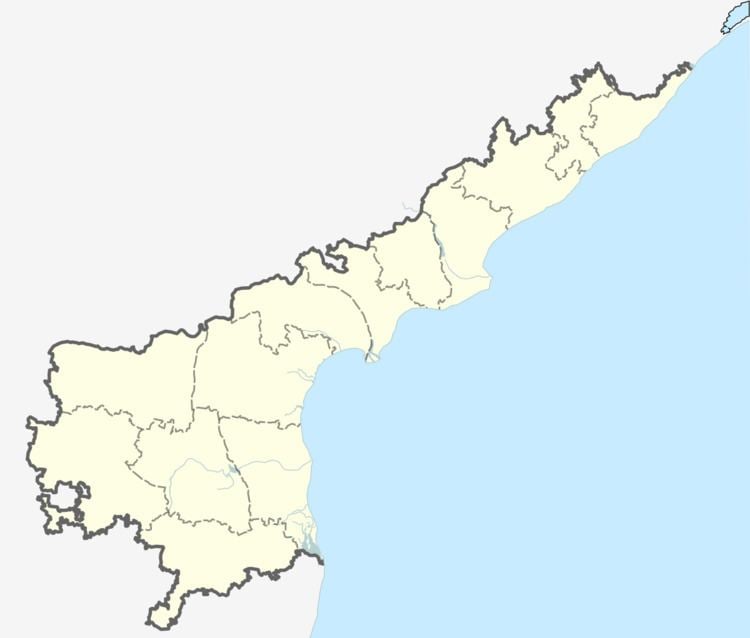
Map of Rolla, Andhra Pradesh 515321
Geography
Rolla is located at 13.8331°N 77.1000°E / 13.8331; 77.1000. It has an average elevation of 726 metres (2385 ft).
Demographics
As of 2001 Indian census, the demographic details of Rolla mandal is as follows:
Villages
The villages in Rolla mandal includes: Jeerige Halli, H.M.palli, KG Gutta (Kodagari Gutta), HT Halli, Kaluve Halli, Mallinamadugu, Hunisekunta, Keriyalahalli, Hallikere, Mallasandra, TD Halli, Agrahara, Vannaranahalli, Somagatta, Bandrshalli, Bommagundanahalli, Dodderi, Gudduguriki, Kaki, M. Rayapuram, Ratnagiri, Ranganahalli, Rolla, Rolla gollahatti, Kadupula Konda, Thimmarada palli, Hosur, Naasepalli, Sugaali Thaanda and Somagatta.
Main features
The main source of income is through agricultural activities by cultivating crops such as Rice, Groundnuts, Sunflower, Raagi, Chilli, Flowers, Cucumber, Oil seeds, Mulberry, Maiz etc.
Though students of this region managed to get education and entered the society as teachers, lecturers, engineers, doctors, scientists etc., still quality education is a daydream for the people of this reason. Though it has been a place for young professionals, lack of accessibility to state capital, lack of quality education are the major hurdles which are driving talented youth to agriculture fields. The main curse for this mandal is the location. It is in a remote area of Andhra Pradesh, which is being neglected by the development authorities. The water, road, electrical, irrigation, primary and higher education systems need drastic development. The pathetic situation for this region is it got a wide access to countries silicon valley but students are not eligible their to get into educational institutions & people from this region are eligible to get into pearl city of south India where they are not willing. This region got driven into the Dark Ages by politicians, bureaucrats and isolation of this region from Karnataka also paves for underdevelopment.
The popular sports are cricket, volleyball, kabaddi, kho-kho, badminton, gilli-danda, swimming, etc. Essentially there are no well-established facilities to practice the games, but the young people keep busy by themselves with the available play-grounds amidst of wandering people.
Hope: A strong and dynamic leader from the mandal participating in at least taluk level affairs can boost all the developments.AP Gov.
Historical places
Ratnagiri is one of the historical places in Rolla mandal and Jain temple is located at here, it is 5 km From Rolla. Ratnagiri fort was the one of the important fort for Pandyas and Cholas. Later it got fallen to the hands of Hyder-ali. It been believed that after the fall of Vijayanagaram Kingdom Allasani peddana and around 500 Brahmin families got settled at Ratnagiri and Ranganahalli. Ratnagiri is must visit historic place where one can find fort, old temples, wells. Kollapuri Laxmi Temple and Subramanya Swamy Temple are famous in rathnagiri. Sanimahathma temple and Ram gudi temple is house of worship for many devotees located in rolla. It is also famous for Muddamma Devi temple with followers mainly from neighbouring Tumkur Dist.of Karnataka State. Every year during the period of Feb-March rathosavam following by kalyanosthavan will be done for Lord Narasima Swamy in rolla .
