
District Třebíč Elevation 535 m | Postal code 675 22 to 675 25 Area 8.07 km² | |
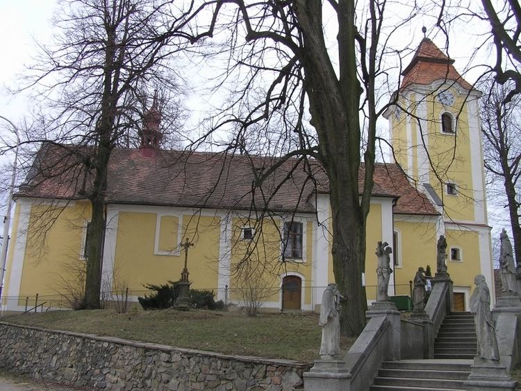 | ||
Rokytnice nad Rokytnou is a small town (městys) in Třebíč District in the Vysočina Region of the Czech Republic.
Map of Rokytnice nad Rokytnou, Czechia
The town covers an area of 8.07 square kilometres (3.12 sq mi), and has a population of 856 (as at 3 July 2006).
Rokytnice nad Rokytnou lies approximately 9 kilometres (6 mi) south-west of Třebíč, 28 km (17 mi) south-east of Jihlava, and 140 km (87 mi) south-east of Prague.
References
Rokytnice nad Rokytnou Wikipedia(Text) CC BY-SA