
Elevation 554 m Local time Tuesday 3:16 PM | Postal code 588 44 Area 11.42 km² | |
 | ||
Weather 12°C, Wind W at 8 km/h, 56% Humidity | ||
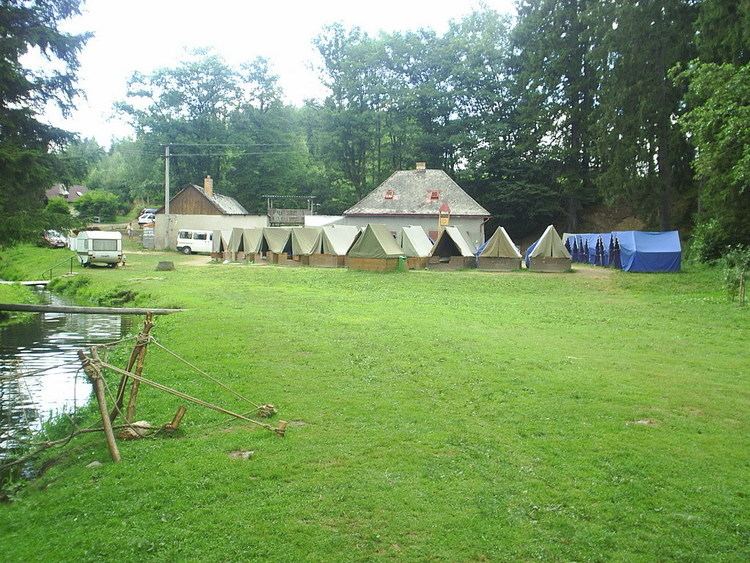
Rohozná ( [ˈroɦoznaː]) is a village and municipality (obec) in Jihlava District in the Vysočina Region of the Czech Republic.
Map of 588 44 Rohozn%C3%A1, Czechia
The municipality covers an area of 11.42 square kilometres (4.41 sq mi), and has a population of 354 (as at 28 August 2006).
Rohozná lies approximately 16 kilometres (10 mi) west of Jihlava and 108 km (67 mi) south-east of Prague.
References
Rohozná (Jihlava District) Wikipedia(Text) CC BY-SA