
Country United States Time zone CST (UTC-6) Area 62.86 km² Population 449 (2010) | Established September 1863 Elevation 221 m Local time Tuesday 7:28 AM | |
 | ||
ZIP codes 60917, 60919, 60941, 60946 Weather 2°C, Wind SW at 2 km/h, 91% Humidity | ||
Rogers Township is one of twelve townships in Ford County, Illinois, USA. As of the 2010 census, its population was 449 and it contained 208 housing units. It was formed as Grant Township from a portion of Stockton (Brenton) Township in September, 1863; its name was changed to Rogers Township on May 9, 1864.
Contents
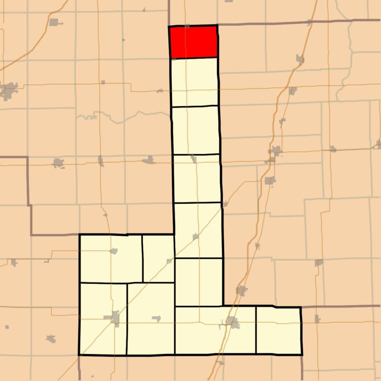
- Map of Rogers Township IL USA
- Geography
- Cities towns villages
- Unincorporated towns
- Cemeteries
- Major highways
- School districts
- Political districts
- References
Map of Rogers Township, IL, USA
Geography
According to the 2010 census, the township has a total area of 24.27 square miles (62.9 km2), of which 24.26 square miles (62.8 km2) (or 99.96%) is land and 0.01 square miles (0.026 km2) (or 0.04%) is water.
Cities, towns, villages
Unincorporated towns
Cemeteries
The township contains Saint Joseph Cemetery.
Major highways
School districts
Political districts
References
Rogers Township, Ford County, Illinois Wikipedia(Text) CC BY-SA