
Country United States FIPS code 19-68340 Elevation 363 m Population 44 (2013) | State Iowa Time zone Central (CST) (UTC-6) GNIS feature ID 0460759 Area 44 ha Local time Tuesday 3:38 AM | |
 | ||
Weather 2°C, Wind N at 16 km/h, 71% Humidity | ||
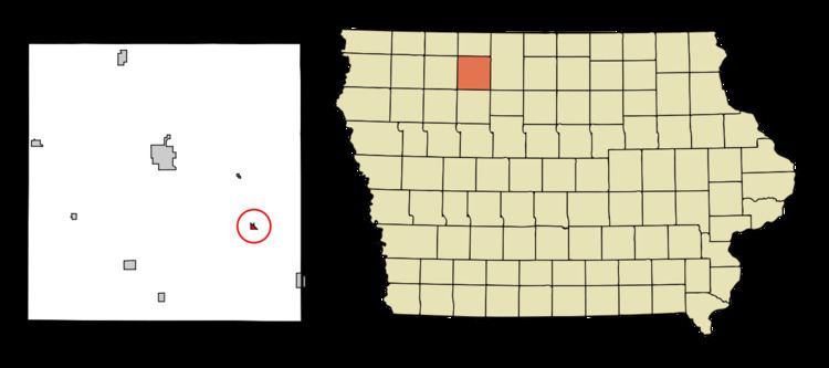
Rodman is a city in Palo Alto County, Iowa, United States. The population was 45 at the 2010 census.
Contents
Map of Rodman, IA 50597, USA
History
Rodman had its start in the early 1880s by the building of the Burlington, Cedar Rapids and Northern Railway through that territory. It was named for one Mr. Rodman, a retired sailor, who owned the town site.
Geography
Rodman is located at 43°1′37″N 94°31′40″W (43.026874, -94.527795).
According to the United States Census Bureau, the city has a total area of 0.17 square miles (0.44 km2), all of it land.
2010 census
As of the census of 2010, there were 45 people, 23 households, and 12 families residing in the city. The population density was 264.7 inhabitants per square mile (102.2/km2). There were 25 housing units at an average density of 147.1 per square mile (56.8/km2). The racial makeup of the city was 100.0% White.
There were 23 households of which 21.7% had children under the age of 18 living with them, 39.1% were married couples living together, 4.3% had a female householder with no husband present, 8.7% had a male householder with no wife present, and 47.8% were non-families. 43.5% of all households were made up of individuals and 8.6% had someone living alone who was 65 years of age or older. The average household size was 1.96 and the average family size was 2.50.
The median age in the city was 50.5 years. 15.6% of residents were under the age of 18; 2.2% were between the ages of 18 and 24; 13.3% were from 25 to 44; 51.1% were from 45 to 64; and 17.8% were 65 years of age or older. The gender makeup of the city was 51.1% male and 48.9% female.
2000 census
As of the census of 2000, there were 56 people, 24 households, and 16 families residing in the city. The population density was 336.7 people per square mile (127.2/km²). There were 28 housing units at an average density of 168.4 per square mile (63.6/km²). The racial makeup of the city was 96.43% White, 3.57% from other races.
There were 24 households out of which 33.3% had children under the age of 18 living with them, 45.8% were married couples living together, 8.3% had a female householder with no husband present, and 33.3% were non-families. 33.3% of all households were made up of individuals and 12.5% had someone living alone who was 65 years of age or older. The average household size was 2.33 and the average family size was 2.94.
In the city, the population was spread out with 25.0% under the age of 18, 7.1% from 18 to 24, 25.0% from 25 to 44, 32.1% from 45 to 64, and 10.7% who were 65 years of age or older. The median age was 40 years. For every 100 females there were 100.0 males. For every 100 females age 18 and over, there were 100.0 males.
The median income for a household in the city was $29,063, and the median income for a family was $31,250. Males had a median income of $28,438 versus $16,250 for females. The per capita income for the city was $15,347. None of the population and none of the families were below the poverty line.