
Population 174 (2006 census) Mean max temp Mean min temp 19.0 °C 3.9 °C Postal code 2795 Lga Bathurst Region | Postcode(s) 2795 Mean min temp Annual rainfall Elevation 850 m Local time Tuesday 3:36 PM | |
 | ||
Weather 19°C, Wind N at 10 km/h, 96% Humidity | ||
Rockley is a small village in the Central Tablelands region in New South Wales, Australia. At the 2006 census, Rockley had a population of 174 people.
Contents
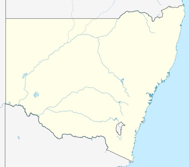
Map of Rockley NSW 2795, Australia
Rockley has a tablelands climate similar to Bathurst. Summers are generally warm and mild. Autumn is generally mild to cool with few frosts at the end of the season. Winter is generally cool to cold with some day times maxima under 5 degrees, there are on average about 3 snowfalls per years. Many days through winter have thick frost and fog. Spring has some late frosts and then the days turn warm.
History
Rockley was first opened as a township in 1848 after a copper mine was opened 8 km from the town and gold was also uncovered. However it was first granted as farm land to William Lawson in 1818, then granted to Captain Steel who named the property after his birthplace in Wiltshire England.
Buildings
Currently the village has two churches, an Anglican church and a Catholic church. There are two recreation halls, the School of Arts Hall and the Sports Oval Hall.
Accommodation wise there is a Bed and Breakfast, Buddens bed & breakfast, and the Rockley Pub.