
Country United States FIPS code 36-63176 Elevation 645 m Local time Tuesday 12:33 AM | State New York Time zone Eastern (EST) (UTC-5) GNIS feature ID 0979428 Population 3,775 (2010) | |
 | ||
Weather 2°C, Wind NW at 11 km/h, 62% Humidity Area 246.6 km² (244.2 km² Land / 259 ha Water) Points of interest Catskill Fly Fishing Center an, Roscoe O&W Railway, Dundas Castle | ||
Rockland is a town in the northern part of Sullivan County, New York, United States. At the 2010 census, the population was 3,775.
Contents
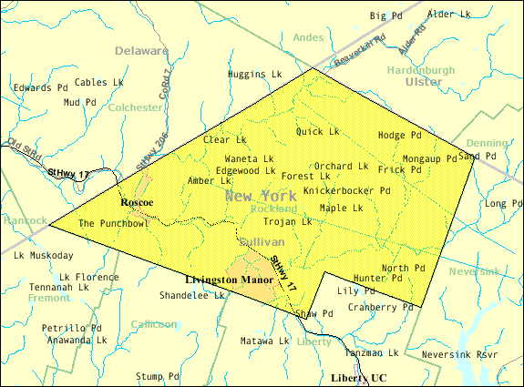
Map of Rockland, NY, USA
History
The town, like most of this part of New York, was part of the Hardenburgh Patent. The town was first settled around 1789. The town was established in 1910 from the western part of the Town of Neversink.
Geography
The northwest town line is the border of Delaware County, New York, and the northeast town line is the border of Ulster County, New York. Most of the town is within the Catskill Park.
According to the United States Census Bureau, the town has a total area of 95.2 square miles (247 km2), of which, 94.3 square miles (244 km2) of it is land and 1.0 square mile (2.6 km2) of it (1.01%) is water.
Demographics
As of the census of 2000, there were 3,913 people, 1,560 households, and 1,040 families residing in the town. The population density was 41.5 people per square mile (16.0/km²). There were 2,475 housing units at an average density of 26.2 per square mile (10.1/km²). The racial makeup of the town was 91.31% White, 3.19% African American, 0.05% Native American, 0.89% Asian, 2.71% from other races, and 1.84% from two or more races. Hispanic or Latino of any race were 7.10% of the population.
There were 1,560 households out of which 29.7% had children under the age of 18 living with them, 50.3% were married couples living together, 11.6% had a female householder with no husband present, and 33.3% were non-families. 27.8% of all households were made up of individuals and 12.8% had someone living alone who was 65 years of age or older. The average household size was 2.48 and the average family size was 3.01.
In the town, the population was spread out with 25.4% under the age of 18, 6.7% from 18 to 24, 24.4% from 25 to 44, 26.1% from 45 to 64, and 17.4% who were 65 years of age or older. The median age was 40 years. For every 100 females there were 98.4 males. For every 100 females age 18 and over, there were 96.8 males.
The median income for a household in the town was $32,879, and the median income for a family was $38,629. Males had a median income of $33,370 versus $21,094 for females. The per capita income for the town was $16,323. About 11.1% of families and 14.0% of the population were below the poverty line, including 22.0% of those under age 18 and 9.0% of those age 65 or over.