
- land 110.96 sq mi (287 km) - summer (DST) CDT (UTC-5) Area code 815 | - water 1.87 sq mi (5 km) Local time Monday 10:39 PM | |
 | ||
Weather 7°C, Wind NE at 10 km/h, 68% Humidity Points of interest Anderson Japanese Gardens, Burpee Museum of Natural H, Discovery Center Museum, Tinker Swiss Cottage, Klehm Arboretum and Bota | ||
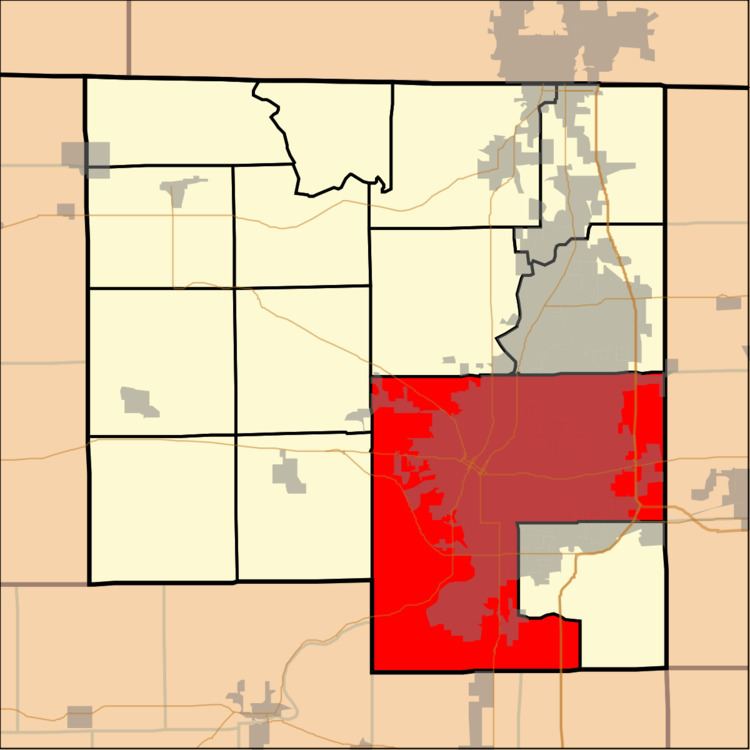
Rockford Township is located in Winnebago County, Illinois, United States. As of the 2010 census, its population was 178,527 and it contained 78,714 housing units. It is the largest township, in terms of area, in Illinois. The city of Rockford, along with the villages of Cherry Valley and New Milford are all located in Rockford Township.
Contents
Map of Rockford Township, IL, USA
History
Township government for Winnebago County was formed on November 6, 1849. The township government didn't become effective until the next year on April 1, 1850. Rockford Township would later annex two of the original sixteen townships of the county. On May 1, 1916, New Milford Township annexation was approved, followed by Guilford Township in 1929.
Geography
According to the 2010 census, the township has a total area of 112.83 square miles (292.2 km2), of which 110.96 square miles (287.4 km2) (or 98.34%) is land and 1.87 square miles (4.8 km2) (or 1.66%) is water.