
Time zone CST (UTC-6) Area 93.16 km² Population 350 (2010) | Established April 27, 1855 Elevation 212 m Local time Monday 6:24 PM | |
 | ||
ZIP codes 62318, 62321, 62336, 62341, 62358 Weather 18°C, Wind N at 19 km/h, 49% Humidity | ||
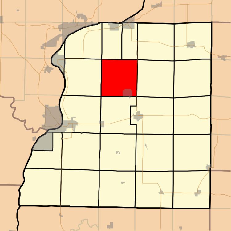
Rock Creek Township is one of twenty-five townships in Hancock County, Illinois, United States. As of the 2010 census, its population was 350 and it contained 169 housing units. It was formed from Sonora and Pilot Grove townships on April 27, 1855.
Contents
- Map of Rock Creek Township IL USA
- Geography
- Cities towns villages
- Unincorporated towns
- Cemeteries
- School districts
- Political districts
- References
Map of Rock Creek Township, IL, USA
Geography
According to the 2010 census, the township has a total area of 35.97 square miles (93.2 km2), all land.
Cities, towns, villages
Unincorporated towns
(This list is based on USGS data and may include former settlements.)
Cemeteries
The township contains Rock Creek Cemetery.
Many of the old gravestones are no longer legible. A large stone designating Rock Creek Cemetery has the names of descendants on its back.
School districts
Political districts
References
Rock Creek Township, Hancock County, Illinois Wikipedia(Text) CC BY-SA