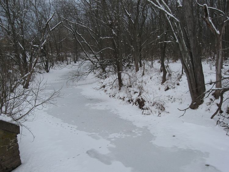
- location near Rentzel Road Mouth Monocacy River | Basin area 168.3 km² Country United States of America | |
 | ||
- from East coordinates shown right-justified - from West coordinates shown left-justified | ||
Rock Creek is an 18.9-mile-long (30.4 km) tributary of the Monocacy River in south-central Pennsylvania and serves as the border between Cumberland and Mount Joy townships. Rock Creek was used by the Underground Railroad (at McAllister's Mill, "slaves would slosh through the water to throw off the tracking dogs that were pursuing them") and flows near several Gettysburg Battlefield sites, including Culp's Hill, the Benner Hill artillery location, and Barlow Knoll.
Contents
Map of Rock Creek, Pennsylvania, USA
Tributaries
References
Rock Creek (Monocacy River) Wikipedia(Text) CC BY-SA
