
Country United States ZIP codes 61014, 61046, 61051 Elevation 260 m Local time Monday 6:27 PM | Time zone CST (UTC-6) GNIS feature ID 0429655 Area 140 km² Population 1,976 (2010) | |
 | ||
Weather 16°C, Wind NE at 19 km/h, 47% Humidity | ||
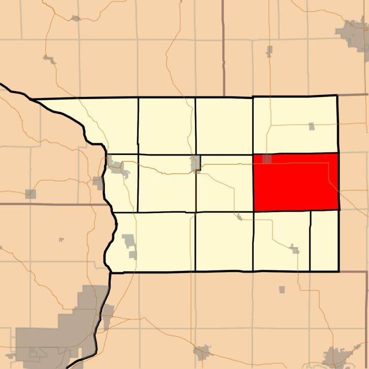
Rock Creek-Lima Township is one of twelve townships in Carroll County, Illinois, USA. As of the 2010 census, its population was 1,976 and it contained 933 housing units.
Contents
- Map of Rock Creek Lima Township IL USA
- Geography
- Cities towns villages
- Cemeteries
- Major highways
- School districts
- Political districts
- References
Map of Rock Creek-Lima Township, IL, USA
Geography
According to the 2010 census, the township has a total area of 54.06 square miles (140.0 km2), of which 54.05 square miles (140.0 km2) (or 99.98%) is land and 0.01 square miles (0.026 km2) (or 0.02%) is water.
Cities, towns, villages
Cemeteries
The township contains these three cemeteries: Brookville Lutheran, Lanark City and Schriner.
Major highways
School districts
Political districts
References
Rock Creek–Lima Township, Carroll County, Illinois Wikipedia(Text) CC BY-SA