
Population 2,366 Civil parish Rock Local time Tuesday 1:58 AM | OS grid reference SO735712 Sovereign state United Kingdom | |
 | ||
Weather 4°C, Wind W at 19 km/h, 75% Humidity | ||
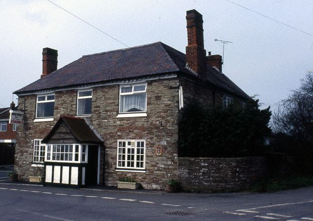
Rock is a village and civil parish in the Wyre Forest District of Worcestershire, England, which lies south-west of Bewdley. It had a population of 2,366 in 2001.
Map of Rock, UK
Rock was in the lower division of Doddingtree Hundred. It is a geographically large civil parish, including various settlements including Far Forest.
A grammar school was established in King Edward VI's reign. The Bewdley School and Sixth Form Centre provides secondary education for pupils from the area.
The church contains a number of Herefordshire School Romanesque carvings. The local church has a major congregation, and the village hall always has local events taking place from weddings to the Rock Show.
In the parish is Fingerpost, the junction of the A456 and A4117 roads. The parish council erected a large commemorative stone near the junction for the Diamond Jubilee of Queen Elizabeth II.