
Established 1860 Elevation 550 m Postal code 3442 | Postcode(s) 3442 Founded 1860 Local time Tuesday 9:19 AM | |
 | ||
Weather 19°C, Wind NE at 14 km/h, 92% Humidity | ||
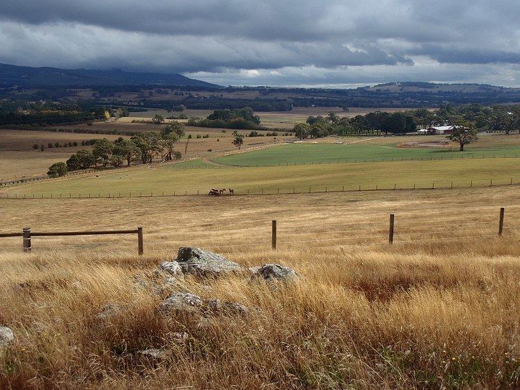
Rochford is a small settlement and locality in the Macedon Ranges Shire, in Victoria, Australia, on the Lancefield-Woodend Road (now signposted as the Rochford Road).
Map of Rochford VIC 3442, Australia
The district once contained a number of public and religious buildings, all of which now appear to have been removed or demolished. These included a Public Hall, Anglican Church, Presbyterian Church, and tennis courts.
Rochford Post Office opened on 10 March 1863 and closed in 1965.
The 1857 red brick building & former 1870 principals residence of the former Rochford North School (State School 540) is still standing and is now a privately owned luxury holiday rental.
References
Rochford, Victoria Wikipedia(Text) CC BY-SA