Built 1957-1964 NRHP Reference # 11000893 Added to NRHP 7 December 2011 | Architectural style Ranch; Split Level Area 16 ha | |
 | ||
Location Roughly bounded by Bailey Dr., Boaz Rd., Calloway Dr. & Garner Rd., Raleigh, North Carolina Architect Peebles, Millard R.; Cooley, Sidney; Hunter, Willis MPS Post-World War II and Modern Architecture in Raleigh, North Carolina, 1945-1965 | ||
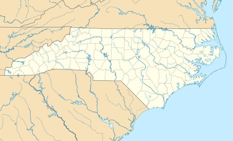
Rochester Heights Historic District is a historic post-World War II neighborhood and national historic district located 1 1/2-miles southeast of downtown Raleigh, North Carolina. The district encompasses 137 contributing buildings and 1 contributing structure and was developed between about 1957 and 1964. The homes are predominantly constructed in the Ranch and Split-level home styles.
Map of Rochester Heights, Raleigh, NC 27610, USA
It was listed on the National Register of Historic Places in December 2011.
References
Rochester Heights Historic District Wikipedia(Text) CC BY-SA
