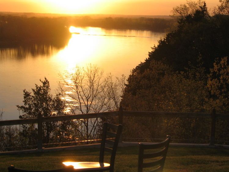
Built 1830 (1830) Added to NRHP October 8, 1976 Area 70 ha Population 244 (2013) Area code 573 | NRHP Reference # 76001108 Elevation 187 m Zip code 65279 Local time Monday 4:38 PM | |
 | ||
Location MO 240, Rocheport, Missouri Weather 28°C, Wind NW at 8 km/h, 35% Humidity | ||
Rocheport, also known as Rocheport Historic District, is a historic district in Rocheport, Missouri. It dates from 1830.
Map of Rocheport, MO 65279, USA
Rocheport was a trading post for both settlers and Native Americans. After the purchase of the Louisiana Territory in 1803, President Thomas Jefferson commissioned Meriwether Lewis and William Clark to lead an expedition to explore the western territories. On June 7, 1804, their journey led them to the convergence of the Missouri River and Moniteau Creek near the future settlement of Rocheport. Clark noted the features of the land, flora, fauna and native pictographs on the bluffs in his journal. Rocheport became a permanent settlement in the early 19th century.
It was listed on the National Register of Historic Places in 1976.
