
Country United States County Saint Louis Time zone Central (CST) (UTC-6) Elevation 451 m | State Minnesota ZIP code 55731 Local time Monday 1:28 PM | |
 | ||
Weather 8°C, Wind W at 16 km/h, 28% Humidity | ||
Robinson is an unincorporated community in Morse Township, Saint Louis County, Minnesota, United States.
Contents
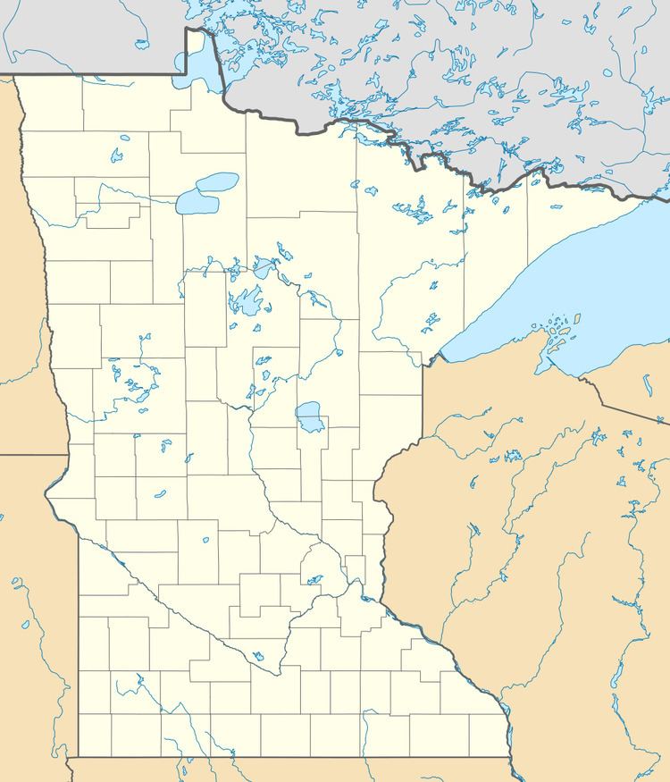
Map of Robinson, MN 55731, USA
Geography
The community is located between Tower and Ely on State Highways 1 (MN 1) and 169 (MN 169). The boundary line between Eagles Nest Township and Morse Township is nearby. Bear Head Lake State Park is also in the vicinity.
History
The community bears the name of an early lumberman who worked in the area.
References
Robinson, Minnesota Wikipedia(Text) CC BY-SA