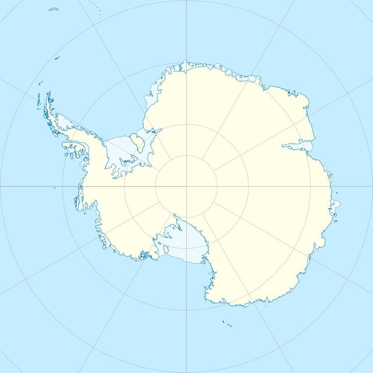
Location Antarctica Width 10 km (6 mi) | Length 21 km (13 mi) Population Uninhabited | |
 | ||
Robertson Island is an ice-covered island, 21 km (13 mi) long in a northwest-southeast direction and 10 km (6 mi) wide, lying at the east end of the Seal Nunataks off the east coast of the Antarctic Peninsula. Captain Carl Anton Larsen discovered Robertson Island from the Jason on December 9, 1893. Curious to find out if the volcano was active he skied to the top from the north side of the island, later naming it Mt. Christensen after his longtime partner and majority owner of the Jason, Christen Christensen. Larsen named Robertson Island for William Robertson, co-owner of Woltereck and Robertson.
Map of Robertson Island, Antarctica
References
Robertson Island Wikipedia(Text) CC BY-SA
