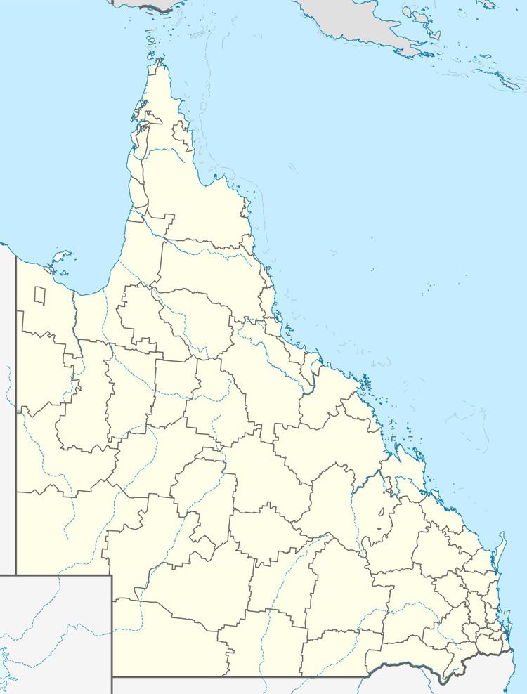
Population 4,867 (2011 census) Postal code 4109 | Postcode(s) 4109 Robertson Macgregor | |
 | ||
LGA(s) City of Brisbane(Macgregor Ward) | ||
Robertson is an outer suburb in the south of Brisbane, Australia. It is 13 kilometres (8 mi) south of the CBD. It was named in July 1967 in memory of Doctor William Nathaniel Robertson who was a member of the University of Queensland Senate. It is one of several suburbs near the University of Queensland that are linked to the history of the university, including those of Robertson, Macgregor, and Griffith.
Contents
Map of Robertson QLD 4109, Australia
Education
Elementary education is provided by Robertson State Primary School which opened in 1980 with 124 students. The Robertson State Preschool Centre opened two weeks later with an initial enrolment of 26. The school was officially opened by the Minister for Education, V.J. Bird, and by 1987 it had 600 students on roll.
Demographics
In the 2011 census, the population of Robertson was 4,867, 50.7% female and 49.3% male.
The median age of the Robertson population was 32 years, 5 years below the Australian median.
34.7% of people living in Robertson were born in Australia, compared to the national average of 69.8%; the next most common countries of birth were China 12.6%, Taiwan 9.6%, India 5.4%, Hong Kong 3.1%, Malaysia 3%.
36.7% of people spoke only English at home; the next most common languages were 23.5% Mandarin, 7.6% Cantonese, 2.3% Vietnamese, 2.1% Arabic, 2% Korean.
