
Country Canada Elevation 1,140 m Population 170 (2016) | Time zone MST (UTC-7) Area 6.83 km² Local time Monday 1:45 AM | |
 | ||
Weather -6°C, Wind W at 8 km/h, 70% Humidity | ||
Space shuttle ufo cloud in robb alberta
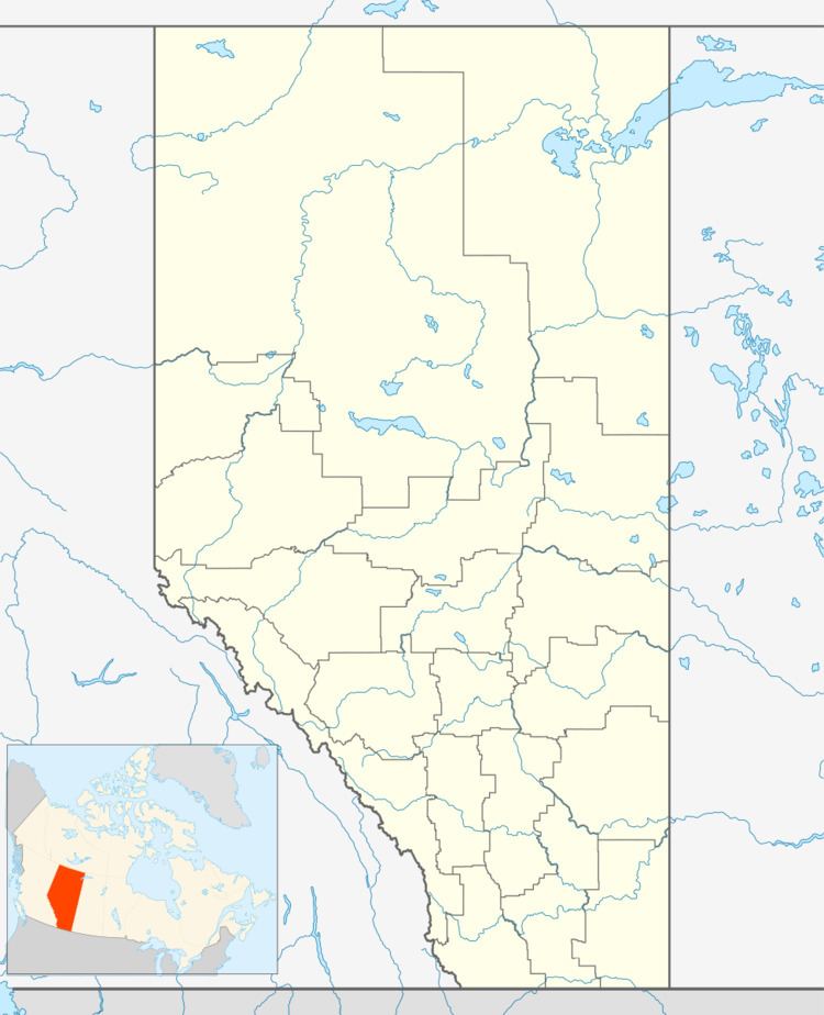
Robb is a hamlet in west-central Alberta, Canada within Yellowhead County. It is located on Highway 47, approximately 53 kilometres (33 mi) southwest of Edson. It has an elevation of 1,140 metres (3,740 ft).
Contents
Map of Robb, AB, Canada
Statistics Canada recognizes Robb as a designated place.
The hamlet is located in census division No. 14 and in the federal riding of Yellowhead.
Demographics
As a designated place in the 2016 Census of Population conducted by Statistics Canada, Robb recorded a population of 170 living in 82 of its 111 total private dwellings, a change of 3000400000000000000♠−0.6% from its 2011 population of 171. With a land area of 6.83 km2 (2.64 sq mi), it had a population density of 24.9/km2 (64.5/sq mi) in 2016.
In the 2011 Census, Robb had a population of 171 living in 78 of its 85 total dwellings, a -8.1% change from its 2006 population of 186. With a land area of 6.8 km2 (2.6 sq mi), it had a population density of 25.15/km2 (65.1/sq mi) in 2011.