
Area rank 247 in Norway Area 374.9 km² Local time Monday 7:23 AM | Administrative centre Roan Time zone CET (UTC+1) Population 999 (2010) Official language form Norwegian Language | |
 | ||
Weather 0°C, Wind SE at 21 km/h, 76% Humidity Points of interest Kaura Lighthouse, Sandan, Blikkstranda, Berfjordleira, Gullbrandsøra, Gjøssøra | ||
Roan is a municipality in Sør-Trøndelag county, Norway. It is part of the Fosen region in the northern part of the county. The administrative centre of the municipality is the village of Roan. Other villages include Bessaker, Brandsfjord, and Hofstad.
Contents
Map of Roan, Norway
A large wind park is located on the mountain plateau just southeast of Bessaker.
General information
The municipality of Roan was established on 1 June 1892 when the old municipality of Bjørnør was divided into three separate municipalities: Roan, Osen, and Stoksund. The initial population of Roan was 2,069. The borders of the municipality have remained the same since then.
Name
The municipality (originally the parish) is named after the old Roan farm where the first church was built. The name is probably derived from the Old Norse word róða which means "pole" a reference to a mountain peak behind the farm.
Coat of Arms
The coat-of-arms is modern and was granted on 22 May 1987. The arms show three silver terns on a blue background. Terns, a very watchful and energetic bird, are intended to symbolize the local inhabitants and the coast with the vast bird life in the area.
See also:the Coat-of-arms of TvedestrandChurches
The Church of Norway has one parish (sokn) within the municipality of Roan. It is part of the Deanery (prosti) of Fosen and the Diocese of Nidaros.
Geography
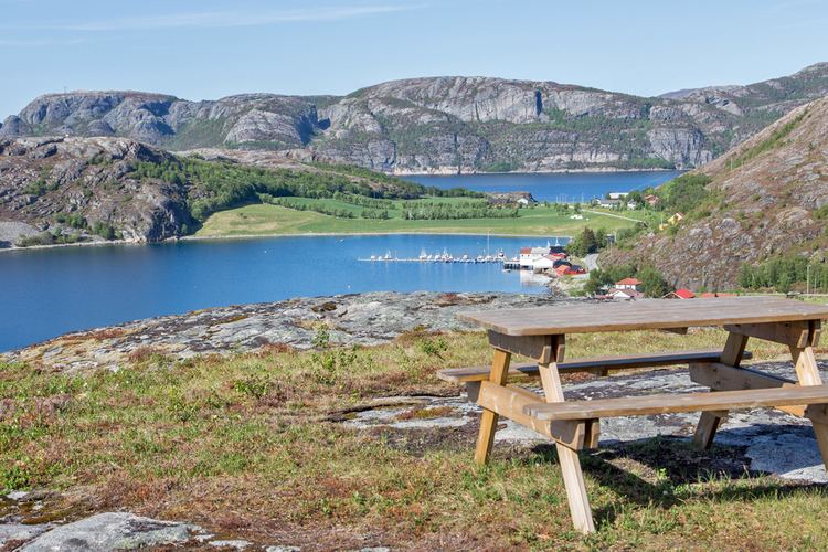
Roan is located on the Fosen peninsula between Åfjord (to the south) and Osen (to the north), with Namdalseid (in Nord-Trøndelag county) to the east. Roan also include a number of islands in the Atlantic Ocean to the west. Three major fjords cut into the landscape: the Brandsfjorden in the north, Bersfjorden in the central part, and the Skjørafjorden in the south. The Kaura lighthouse lies on a small island in the mouth of the Brandsfjorden.
The landscape is very hilly, with bare mountaintops reaching 400 to 600 metres (1,300 to 2,000 ft) above sea level. The highest mountain is the 644-metre (2,113 ft) tall Dåapma on the border with Namdalseid.
Population
Almost all the inhabitants live along the coast or in the Hofstaddalen valley. The islands are all generally uninhabited with few exceptions. The island of Brandsøya, which has a bridge connecting it to the mainland, has some inhabitants. There are only 2 roads leaving the municipality: one going south to Å in Åfjord and one to Osen.