Population 559 (2006 census) State electorate(s) Lockyer Local time Monday 4:08 PM Federal division Division of Blair | Postcode(s) 4310 Postal code 4310 Lga Scenic Rim Region | |
 | ||
Location 79 km (49 mi) SW of Brisbane
42 km (26 mi) E of Beaudesert
14 km (9 mi) N of Boonah Weather 23°C, Wind NE at 16 km/h, 99% Humidity | ||
Roadvale is a small village located in the Scenic Rim Region, south-east Queensland, Australia, 14 kilometres (8.7 mi) north of the principal town Boonah and 79 kilometres (49 mi) south-west of the capital Brisbane. At the 2006 census, Roadvale and the surrounding area had a population of 559.
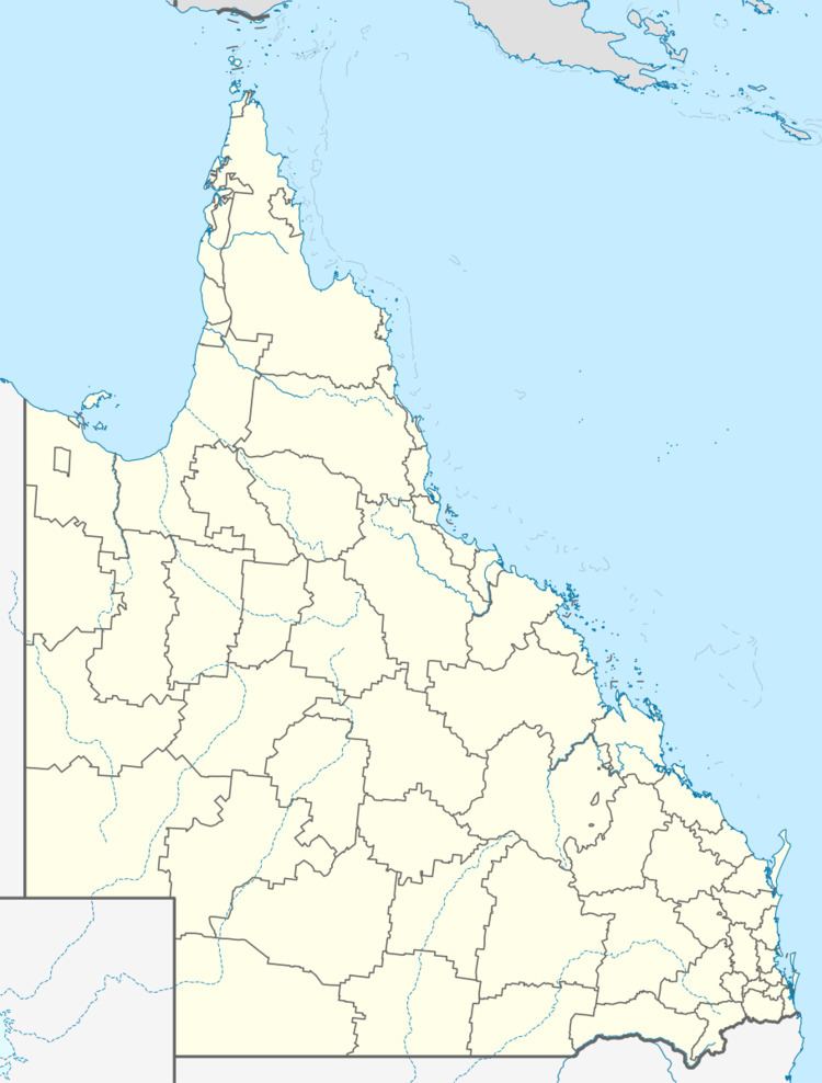
Map of Roadvale QLD 4310, Australia
The railway reached Roadvale in 1887 and in 1915 most of the town was destroyed by fire. Despite rebuilding many businesses the town has never recovered from the devastating fire.
It has a pub and a small general store in the main street, Gray Street, which is also the Roadvale-Kalbar road. Roadvale is a growing centre for many of the small crop products sold in South East Queensland and other areas.
References
Roadvale, Queensland Wikipedia(Text) CC BY-SA
