
 | ||
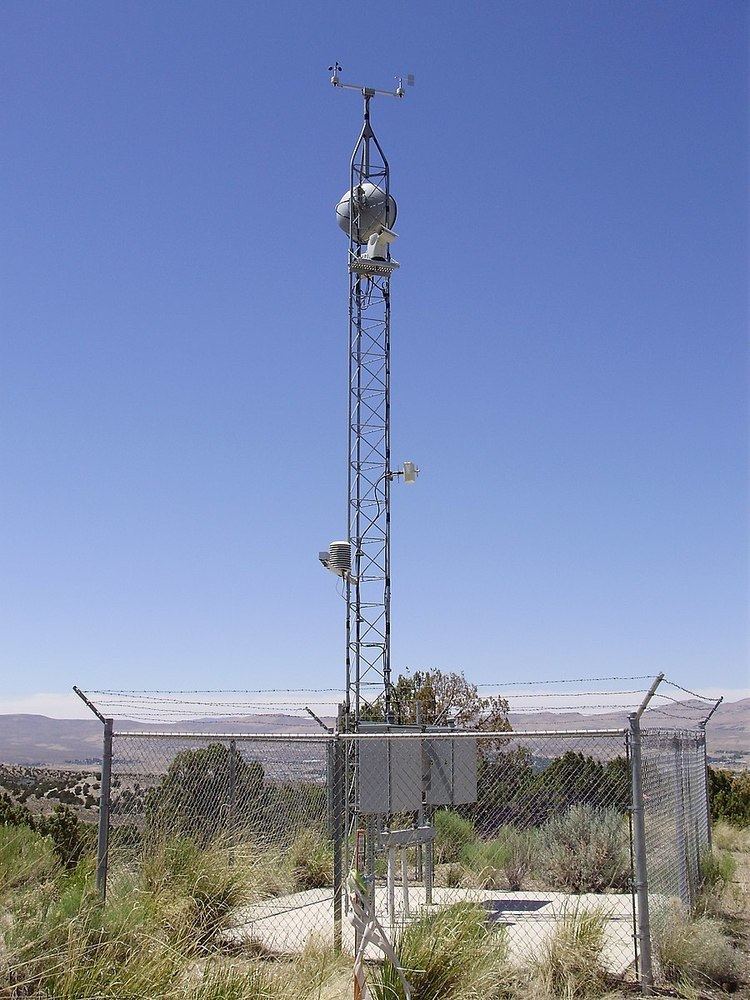
A Road Weather Information System (RWIS) comprises automatic weather stations (technically referred to as Environmental Sensor Stations (ESS)) in the field, a communication system for data transfer, and central systems to collect field data from numerous ESS. These stations measure real-time atmospheric, pavement, water level conditions, and visibility. Central RWIS hardware and software are used to process observations from ESS to develop nowcasts or forecasts, and display or disseminate road weather information in a format that can be easily interpreted by a manager. RWIS data are used by road operators and maintainers to support decision making. Real-time RWIS data is also used by Automated Warning Systems (AWS).
Sensors
References
Road Weather Information System Wikipedia(Text) CC BY-SA