
Country Canada RCM Caniapiscau Time zone EST (UTC-5) Area 34,645 km² Province Québec | Region Côte-Nord Constituted January 1, 1986 Highways Route 389 Population 0 (2011) | |
 | ||
Rivière-Mouchalagane is an unorganized territory in the Côte-Nord region of Quebec, Canada, part of Caniapiscau Regional County Municipality.
Contents
Map of Rivi%C3%A8re-Mouchalagane, QC, Canada
The ghost town of Gagnon is located in the territory along Quebec Route 389 which also provides access to Fermont and Labrador City.
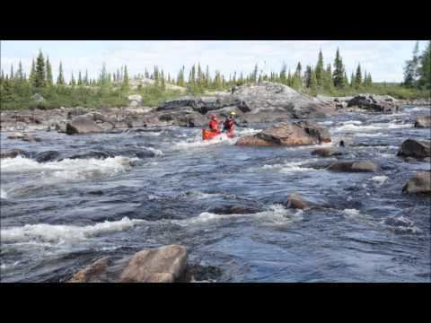
The eponymous Mouchalagane River has its source in Sommet and Itomamis Lakes, and flows for 132 kilometres (82 mi) to the south, after which it drains into the Manicouagan Reservoir. Before the formation of this reservoir, the river would flow into Lake Mouchalagane. This Innu name has been in use since at least the beginning of the 18th century and comes from ouragane, meaning "dish or bowl of bark", and moucha meaning "big". However, a toponym survey conducted in 1979 reported that the Innu name used to describe the lake was Mûshaualâkan, which means "to stretch out the nets to open waters".
Demographics
The region has been completely uninhabited since at least 1991.