
Country Canada RCM La Vallée-de-l'Or Constituted January 1, 1982 Area 489.5 km² Province Québec | Region Abitibi-Témiscamingue Settled 1935 Time zone EST (UTC−5) Population 1,433 (2011) Area code 819 | |
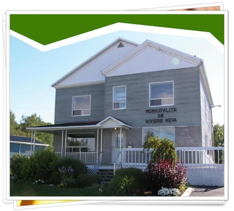 | ||
Rivière-Héva is a municipality in northwestern Quebec, Canada in the MRC de La Vallée-de-l'Or. It is named after the Héva River that flows through the municipality.
Contents
Map of Rivi%C3%A8re-H%C3%A9va, QC, Canada
History
In 1935 as part of the Vautrin Settlement Plan, the place was colonized, originally called Aux Quatre-Coins (French for "At Four Corners"). In 1981, it was incorporated as a municipality.
On August 29, 2009, Rivière-Héva was greatly enlarged when it absorbed the Unorganized Territory of Lac-Fouillac and the western portion of the Unorganized Territory of Lac-Granet.
Demographics
Population trend:
Mother tongue:
References
Rivière-Héva, Quebec Wikipedia(Text) CC BY-SA