
Country Canada Constituted December 18, 1923 Postal code(s) G0E 1Z0 Area 153.7 km² Local time Sunday 11:06 PM | Settled 1860 Time zone EST (UTC−5) Area code(s) 418 and 581 Population 130 (2011) Province Québec | |
 | ||
Weather -2°C, Wind S at 10 km/h, 71% Humidity RCMs Gaspésie–Îles-de-la-Madeleine, La Haute-Gaspésie Regional County Municipality | ||
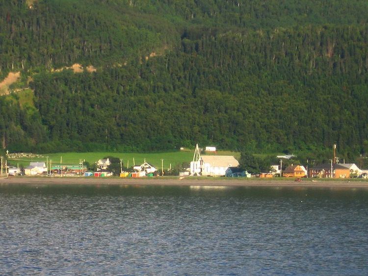
Rivière-à-Claude is a municipality in the Gaspésie-Îles-de-la-Madeleine region of the province of Quebec in Canada.
Contents
Map of Rivi%C3%A8re-%C3%A0-Claude, QC, Canada
In addition to Rivière-à-Claude itself, the municipality also includes the community of Ruisseau-à-Rebours.
History
The first permanent settlers arrived in 1860. The settlement, originally called Duchesnay after senator Édouard-Louis-Antoine-Charles Juchereau Duchesnay (1809-1886), gained a post office in 1879 and grew to 200 persons by 1888. In 1898, the Parish of Saint-Évagre was founded.
In 1923, the place was incorporated. In 1968, the municipality was renamed to Rivière-à-Claude after the Claude River that has its source near the municipality's inland boundary. This river may be named in honour of a pioneer named Joseph Glaude, but there is no certainty since various spellings have existed over time.