
Country United States GNIS feature ID 0429647 Area 10.46 km² Population 15,594 (2010) | Time zone CST (UTC-6) Elevation 189 m Local time Sunday 8:35 PM | |
 | ||
ZIP codes 60130, 60513, 60534, 60546 Weather 9°C, Wind S at 18 km/h, 57% Humidity Points of interest Brookfield Zoo, Brookfield Alex FCU, Brookfield Woods, Hamill Family Play Zoo, Zoo Woods | ||
Riverside Township is one of 29 townships in Cook County, Illinois, USA. As of the 2010 census, its population was 15,594.
Contents
- Map of Riverside Township IL USA
- Geography
- Cities towns villages
- Adjacent townships
- Major highways
- Rivers
- Landmarks
- Political districts
- References
Map of Riverside Township, IL, USA
Geography
According to the United States Census Bureau, Riverside Township covers an area of 4.04 square miles (10.5 km2); of this, 4.02 square miles (10.4 km2) (99.62 percent) is land and 0.02 square miles (0.052 km2) (0.38 percent) is water.
Cities, towns, villages
Adjacent townships
Major highways
Rivers
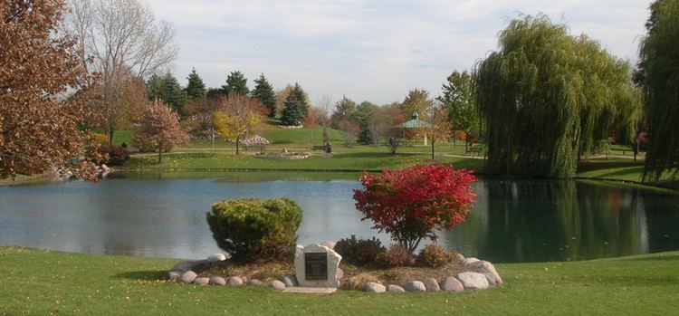
Landmarks
Political districts
References
Riverside Township, Cook County, Illinois Wikipedia(Text) CC BY-SA