
Country United States Time zone CST (UTC-6) Elevation 143 m Local time Sunday 8:35 PM | Established November 6, 1849 ZIP codes 62301, 62376 Area 55.87 km² Population 2,151 (2010) | |
 | ||
Weather 12°C, Wind SE at 21 km/h, 45% Humidity | ||
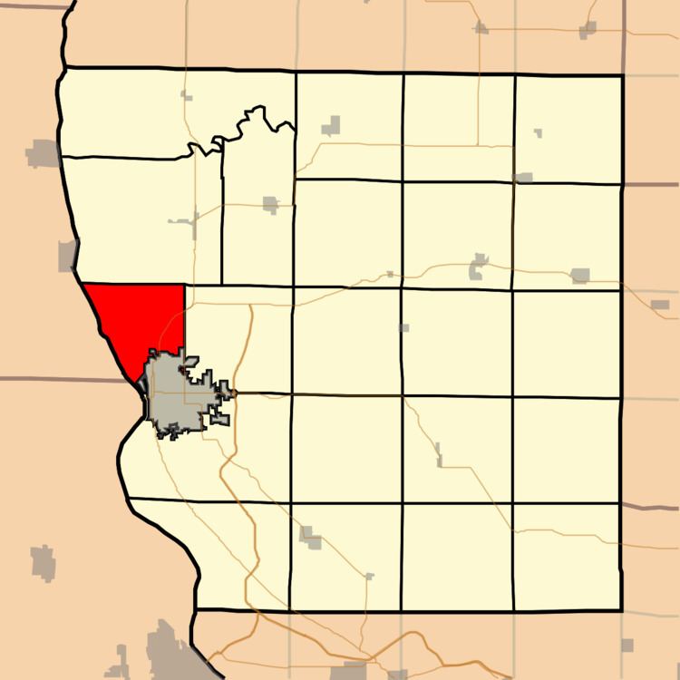
Riverside Township is one of twenty-two townships in Adams County, Illinois, United States. As of the 2010 census, its population was 2,151 and it contained 965 housing units.
Contents
- Map of Riverside Township IL USA
- Geography
- Unincorporated towns
- Major highways
- Airports and landing strips
- Rivers
- Lakes
- School districts
- Political districts
- References
Map of Riverside Township, IL, USA
Geography
According to the 2010 census, the township has a total area of 21.57 square miles (55.9 km2), of which 17.39 square miles (45.0 km2) (or 80.62%) is land and 4.18 square miles (10.8 km2) (or 19.38%) is water.
Unincorporated towns
Major highways
Airports and landing strips
Rivers
Lakes
School districts
Political districts
References
Riverside Township, Adams County, Illinois Wikipedia(Text) CC BY-SA