Country United States ZIP codes 88343 Elevation 1,449 m | Time zone Mountain (MST) (UTC-7) GNIS feature ID 898592 Local time Sunday 7:43 PM | |
 | ||
Weather 24°C, Wind W at 14 km/h, 15% Humidity | ||
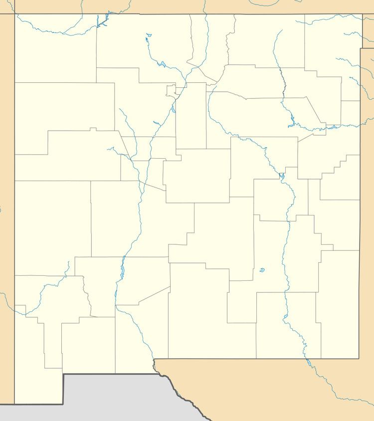
Riverside is an unincorporated community in Lincoln County, New Mexico, in the southwestern United States. It is located along the Rio Hondo that flows east out of the Sacramento Mountains, the Sierra Blanca and the Capitan Mountains of south-central New Mexico. It is on combined routes U.S. 380 and U.S. 70, between the town of Lincoln and Roswell. The nearest community is Sunset about a mile upstream.
Contents
Map of Riverside, New Mexico 88343, USA
History
The settlement was established after World War I when W. O. Norman opened a filling station there, called "Big Hill Filling Station", and a car camp. In 1930 Norman sold his interest and the place was renamed "Riverside Camp", which was soon shortened to "Riverside".
References
Riverside, Lincoln County, New Mexico Wikipedia(Text) CC BY-SA
