
Country South Africa District Eden Established 1838 Local time Monday 2:56 AM | Province Western Cape Municipality Hessequa Elevation 110 m (360 ft) Area code 028 | |
 | ||
Weather 17°C, Wind E at 13 km/h, 93% Humidity | ||
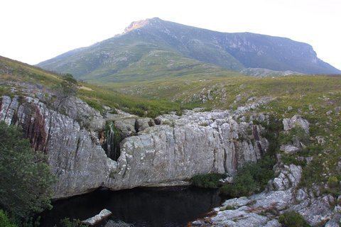
Riversdale (Afrikaans: Riversdal) is a town located on the N2 highway between Cape Town and George on the Agulhas Coastal Plain of the southern Western Cape province of South Africa. It is an agricultural service oriented town, being a hub for shopping and other services for surrounding farming communities, smaller towns, and coastal resorts, like Witsand and Stilbaai. It is located beneath the imposing Langeberg Mountains to the north, with Sleeping Beauty Mountain overlooking the town.
Contents
Map of Riversdale, South Africa
The town was founded as a church on the farm, Doornkraal, and was subsequently named after Harry Rivers, the then incumbent Civil Commissioner of Swellendam. It was proclaimed a town on 30 August 1838. Riverdale is the seat of the Hessequa Local Municipality. It is also sometimes considered the westernmost point in the Garden Route region.