Local time Monday 1:56 PM | ||
 | ||
Weather 21°C, Wind W at 39 km/h, 55% Humidity | ||
Riversdale is a small town in the Southland region of New Zealand. The population of Riversdale in the 2006 Census was 393, an increase of 30 people, or 8.3%, since the 2001 Census.
Contents
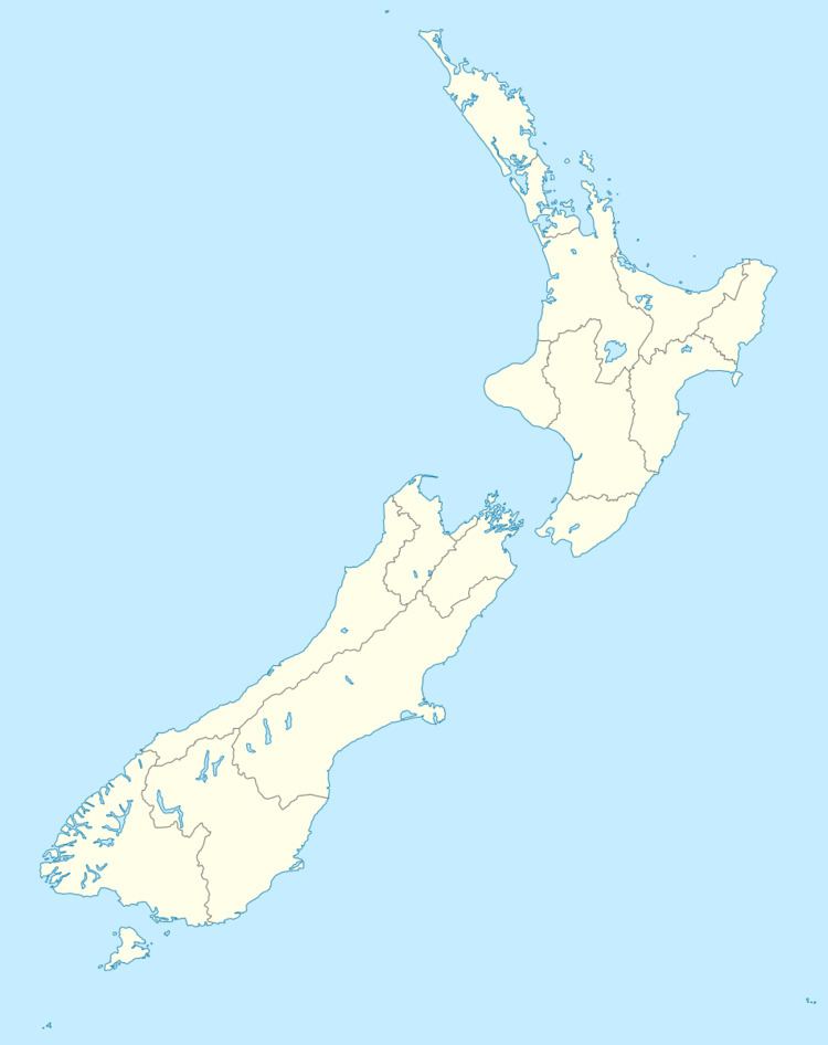
Map of Riversdale, New Zealand
Geography
Riversdale is located between the Hokonui Hills and the Mataura River in the heart of the Waimea Plains, and is roughly equidistant between Gore and Lumsden on State Highway 94, the main road linking Gore with the tourist destination of Milford Sound.
In terms of climate, Riversdale has a temperate oceanic climate grading onto a continental climate more commonly found in Central Otago, with cold, wet winters and warm summers. The Riversdale region is one of the few areas in Southland prone to drought during the summer months.
Railway
In 1880, the Waimea Plains Railway was opened; it linked Gore on the Main South Line with Lumsden on the Kingston Branch and passed through Riversdale. The line was an important economic link for many years, and the original Kingston Flyers that gave their name to today's Kingston Flyer tourist train in Kingston passed through Riversdale on their way to Gore or Dunedin from the 1890s through to Easter 1957.
With the improvement of road transportation and changes in government regulations, the railway lost its profitability, and in 1971, most of the line was closed, including the section through Riversdale.
